

|
0 1 2 3 4 5 6 7 8 9 10 11 12 13 14 15 16 17 18 19 20 21 22 23 24 25 26 27 28 |
|


|
|
|||||||||||||
| Introduction | Monday | Tuesday | Wednesday | Thursday | Friday | Saturday | Sunday | Appendix | ||||||
|
||||||||||||||
|
|
|||||||||||||
|
|
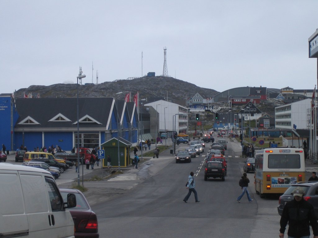
There would be a course conclusion dinner in the evening, but the afternoon was free. On this page are some more photos taken while walking around the town. Beginning with... souvenirs! This souvenir shop was located at the north end of Aqqusinersuaq, on top of a hill. (If you look carefully, the same building is visible in the photo on the previous page, just above the traffic lights.) For the geographically interested, they sold laminated maps of the region around Nuuk, similar to the map on the wall of the village school in Kapisillit. (I have one on my wall.) |
|
|
Katuaq — The Cultural Centre of Greenland. Inside, there was a cinema and a café. There was also a photo exhibition about Greenland (from different decades) in the lobby. At the time of the course, they also had a live program of traditional Greenlandic dances, arranged by local students. Some of us went to see the show on Sunday. |
|
A typical bus stop. There were a few exceptions, but this seemed the most common kind. |
|
|
Long residential buildings were a prominent feature of Nuuk. This one even features the letter Q. |
|
|
|
|
|
|
Above: A panorama of the colonial harbor and surroundings. Hans Egede's statue can be seen (barely) on the top of the hill in the middle of the picture. To the left: The Greenlandic flag. From the colonial harbor, near the National Museum. |
|
|
Kayaks, still at the colonial harbor. The city guidebook says the Kayak Association of Nuuk practices in the area. |
|
Papaver radicatum, also known as arctic poppy. |
|
|
Not a mountain stream, but a pond at one of the hills around the town. |
|
 |
 |
|||
|
||||
|
|
![[Arktis gaveshop]](images/large/arktis-gaveshop-large.jpg)
![[Cultural Centre]](images/large/cultural-centre-large.jpg)
![[Bus stop]](images/large/busstop-large.jpg)
![[Blok Q]](images/large/blok-q-large.jpg)
![[Nuuk (panorama)]](images/large/nuuk2-large.jpg)
![[Greenlandic flag]](images/large/flag-large.jpg)
![[Kayaks]](images/large/kayaks-large.jpg)
![[Papaver radicatum]](images/large/papaver-radicatum1-large.jpg)
![[Pond]](images/large/puddle-large.jpg)